Up to 50% OFF
Sign up today and get instant
access to download our PowerPoint templates.
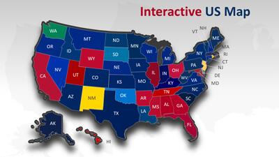
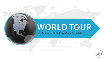
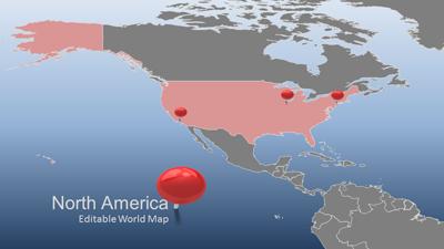
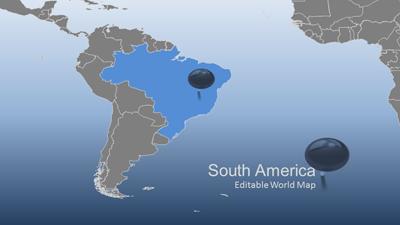
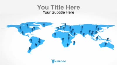
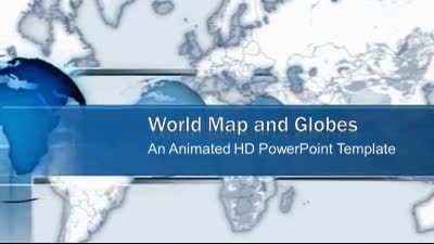
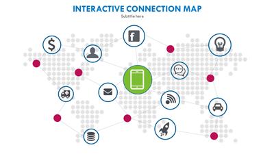
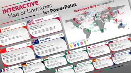
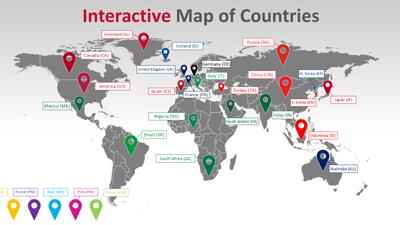
This Interactive World Map PowerPoint template presents a world map on which each country is clickable and hyperlinked to an individual slide containing comprehensive information about the country.
This interactive world map with clickable countries revolutionizes how information is presented and engaged in digital formats. It allows presenters to create a dynamic experience where viewers can actively participate by selecting countries to learn more about them. This interactivity enhances the retention of geographical knowledge and fosters a more engaging learning environment. The ability to dive into detailed slides from the map view brings a seamless flow of information that caters to diverse audiences.
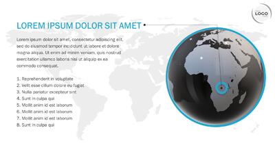
In business presentations, this world country's PowerPoint template can be an engaging tool for showcasing global market statistics or international branch locations. Educational settings can benefit from this interactive world map by providing students with an interactive learning experience about different nations and their cultures using flags of the world, pictures, and descriptions of those places on the country PowerPoint slides. This global map template could be used to discuss geopolitical issues or election results across different regions, making complex data more accessible and understandable.
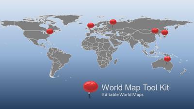
Abbreviations and labels on the map can easily be removed to create a quiz to learn where the states are. This feature is handy for educational purposes, allowing teachers to interactively test students' knowledge of geography. By removing labels, students are challenged to identify countries or states independently, enhancing their learning experience. This method can be applied to various educational levels, from elementary to higher education.
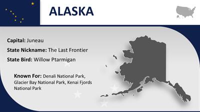
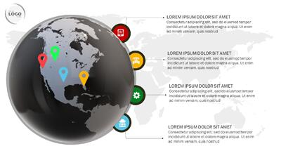
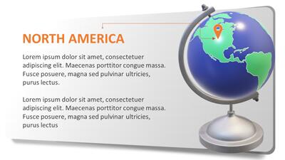
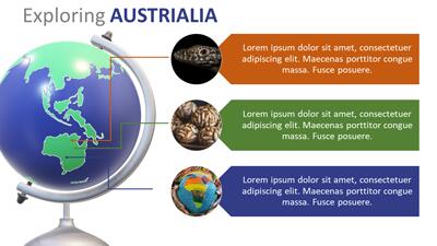
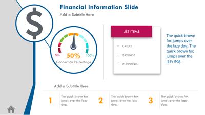
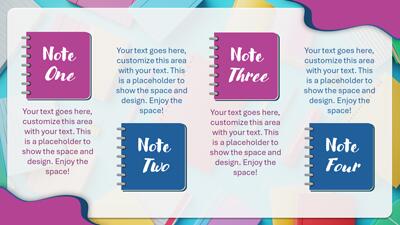
Adding an image to each information slide is straightforward. Users can easily insert relevant photos by copying the image placeholder from an instruction slide into the state information slides. This feature allows for a more visually appealing presentation, making the information more engaging. Images can include country flags, landmarks, or other relevant visuals that enhance the content.
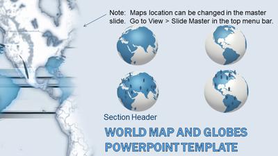
Customizing this template is simple and flexible. Users can add new countries using the placeholder slides or update an existing country's slide with new information. This feature ensures that the template remains up-to-date and relevant for various presentations. The included instructions guide users through the customization process, making it accessible even for those with limited PowerPoint experience. This adaptability makes the template suitable for various applications, from business to education.
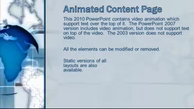
Saving this interactive world map as a PowerPoint show allows for seamless integration into existing presentations. Users can link to the PowerPoint show from their main presentation, creating a cohesive and interactive experience. This method ensures that the interactive elements are preserved and easily accessible. The included instruction slides at the end of the template provide clear guidance on how to save and link the presentation. This feature enhances the usability and flexibility of the customizable world map PowerPoint.
Our extensive library offers interactive PowerPoint templates and many options to enhance your presentations. Explore our collection of Interactive PowerPoint templates to discover dynamic and engaging designs that cater to various needs. Whether you’re looking for educational tools, business presentations, or creative projects, our library has something for everyone.
interactive world map clickable countries learning global locations regions
Similar Templates and Designs
© 2009-2021 Eclipse Digital Imaging, Inc.
Quality PowerPoint Templates, Animations, videos, and 3D Clipart.
PowerPoint® is a registered trademark
of Microsoft Corporation.