Up to 50% OFF

Sign up today and get instant
access to download our PowerPoint templates.
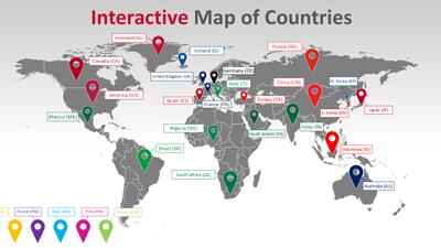
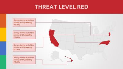
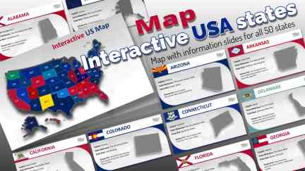
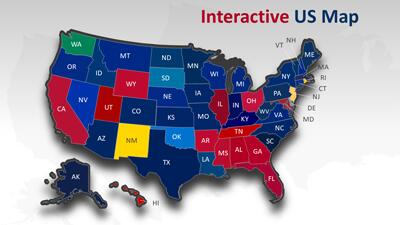
This PowerPoint template showcases an interactive map of the United States where each state is not only clickable but also hyperlinked to detailed individual slides containing information about that specific state.
The concept of an interactive United States map within a presentation allows for a dynamic and engaging way to display geographical data. Users can click on any state to delve into more detailed content tailored for that region. This interactivity enhances learning and retention by providing visual cues alongside comprehensive data. It transforms static presentations into immersive experiences.
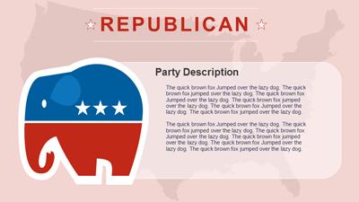
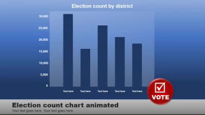
This Interactive USA Map PowerPoint template serves as a versatile tool across multiple domains. In business settings, it can illustrate market demographics or regional sales data effectively. Educational institutions might use it for teaching geography or history through an interactive approach. Political analysts could leverage this tool during election seasons to discuss voting patterns or campaign strategies across different states.
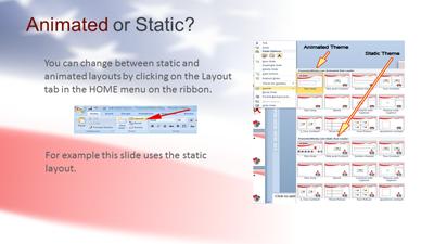
To enhance learning engagement, abbreviations on this United States map PowerPoint template can easily be removed, creating a blank slate ideal for quizzes testing knowledge on US geography. This customizable feature allows educators to tailor their teaching materials according to their specific needs. By removing the state abbreviations, students can be challenged to identify states based solely on their shapes and locations. This interactive approach makes learning more engaging and effective.
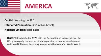
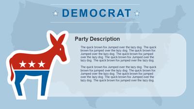
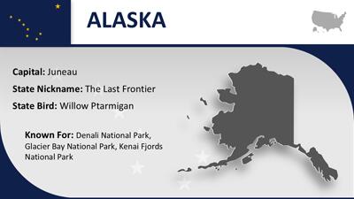
Adding images to each state information slide is straightforward with this usa presentation template. By copying the image placeholder from an instruction slide into the state information slides, users can easily insert relevant visuals. This enhances the presentation by providing visual context and making the information more engaging. Visual aids can significantly improve the audience's understanding and retention of the presented data.
Incorporating slides from this United States interactive ppt map into an existing presentation is seamless. Users can simply copy and paste the desired slides into their current deck. This flexibility allows for the integration of detailed geographical data into broader presentations, enhancing the overall impact and coherence of the content.
For more standout and engaging PowerPoint templates, visit our vast collection of PowerPoint templates.to make creating your next presentation a quick and enjoyable experience.
interactive map Unites States USA US America. geography states
Similar Templates and Designs
© 2009-2021 Eclipse Digital Imaging, Inc.
Quality PowerPoint Templates, Animations, videos, and 3D Clipart.
PowerPoint® is a registered trademark
of Microsoft Corporation.